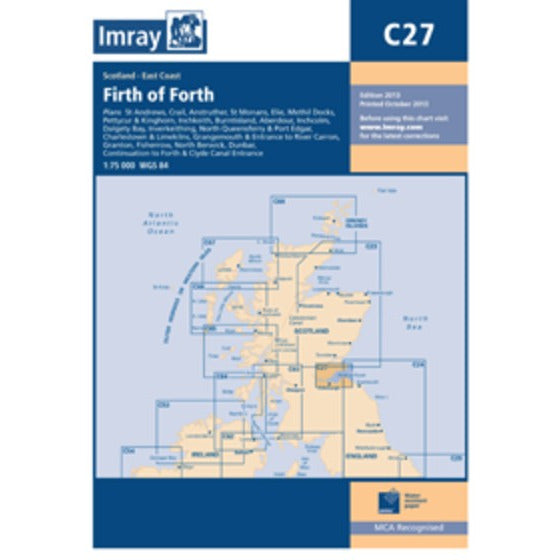
CARTE IMRAY C27 ECOSSE : FIRTH OF FORTH
Plans included:St Andrews (1:7500)Crail (1:7500)Anstruther (1:7500)St Monans (1:7500)Elie (1:10 000)Methil Docks (1:11 000)Pettycur & Kinghorn (1:17 500)Inchkeith (1:25 000)Burntisland (1:20 000)Aberdour (1:12 500)Inchcolm (1:15 000)Dalgety Bay (1:15 000)Inverkeithing (1:15 000)North Queensferry & Port Edgar (1:20 000)Charlestown & Limekilns (1:15 000)Grangemouth & Entrance to River Carron (1:17 500)Continuation to Forth & Clyde Canal Entrance (1:17 500)Granton (1:12 500)Fisherrow (1:12 500)North Berwick (1:7500)Dunbar (1:7500)On this edition the chart specification has been improved to show coloured light flashes. Depths have been updated from the latest surveys where available. Additional tidal stream data has been added. There has been general updating throughout.
Prix habituel
€32,00
Prix habituel
Prix soldé
€32,00
Prix unitaire
par
Taxes incluses.
 Il en reste 1 en stock.
Impossible de charger la disponibilité du service de retrait
Retrait gratuit en magasin

Livraison gratuite à partir de 150€ d'achat

Retour sous 30 jours

Paiement sécurisé
Caractéristiques
Caractéristiques
Technologie / Composition
Technologie / Composition
Entretien
Entretien