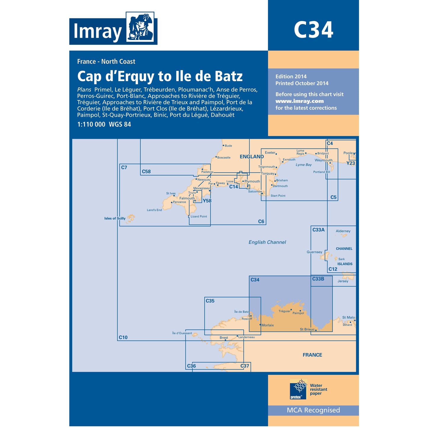
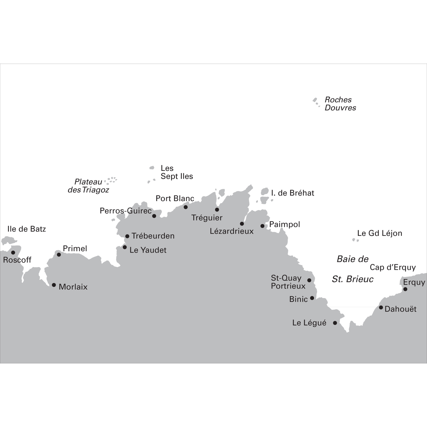
CARTE IMRAY C34 CAP D'ERQUY TO ILE DE BATZ
Plans included:Primel (1:15 000)Le Léguer (1:42 500)Trébeurden (1:25 000)Ploumanac’h (1:10 000)Anse de Perros (1:30 000)Perros-Guirec (1:15 000)Port-Blanc (1:25 000)Approaches to Rivière de Tréguier (1:45 000)Tréguier (1:15 000)Approaches to Rivière de Trieux and Paimpol (1:50 000)Port de la Corderie (Ile de Bréhat) (1:15 000)Port Clos (Ile de Bréhat) (1:10 000)Lézardrieux (1:15 000)Paimpol (1:15 000)St-Quay-Portrieux (1:25 000)Binic (1:12 500)Port du Légué (1:20 000)Dahouët (1:10 000)For this 2014 the chart has been fully updated throughout. Revised depths have been applied where necessary and positional accuracy with reference to WGS84 Datum has been improved. The plan of Port du Légué has been replaced with a correctly scaled plan.
Prix habituel
€32,00
Prix habituel
Prix soldé
€32,00
Prix unitaire
par
Taxes incluses.
 Il en reste 1 en stock.
Impossible de charger la disponibilité du service de retrait
Retrait gratuit en magasin

Livraison gratuite à partir de 150€ d'achat

Retour sous 30 jours

Paiement sécurisé
Caractéristiques
Caractéristiques
Technologie / Composition
Technologie / Composition
Entretien
Entretien